In times gone by, if you were serious about photography you had an SLR. As technology marches forwards the SLR has given way to the DSLR and Mirrorless cameras have improved in leaps and bounds narrowing the gap. It's an exciting time to capture the moments around you. But that's to say nothing of the insane leaps-and-bounds of the cameras in our pockets 24/7. The mobile phone. Truth be told 99 times out of 100, I'll get a better and more consistent photo instantly from my phone running in full automatic mode than I will with 10 minutes of messing around with a DSLR. That's a reflection of two things: 1) my clumsy amature photographic skills; and 2) the most significant recent change in photography - computational photography.
While the phones in our pockets have become so much more powerful and convenient another photography revolution has been brewing. Drones or as I like to call them: flying cameras.
For a long time I had ignored the idea of a drone as a serious bit of photographic equipment. I recalled the early days where people were strapping a GoPro to a quadcopter and calling it a day. A few years back I purchased a DJI Tello as nothing more than a toy because in my mind that's all it was. I genuinely didn't realise how far the technology had come. I had my "ah-ha!" moment as 2022 was wrapping up. While on Christmas holiday the dad from the other family we went with brought his drone along for the trip. Suddenly photography took on a new meaning, he was producing amazing panoramas, impossible photos taken from impossible vantages. He was putting the sights we were seeing into new perspective. I was hooked. I suddenly appreciated that I was missing an entire chunk of the picture. I needed this in my life.
After doing my homework on the various options out there and their relative pros and cons, I did what any reasonable person would do. I took the fistful of unused JB HiFi vouchers I had been building up and together with my own funds walked out with a DJI Mini 3 Pro.
 Photo of myself taken from the drone while I pilot the drone
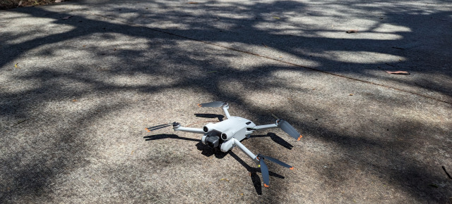 Just prior to takeoff
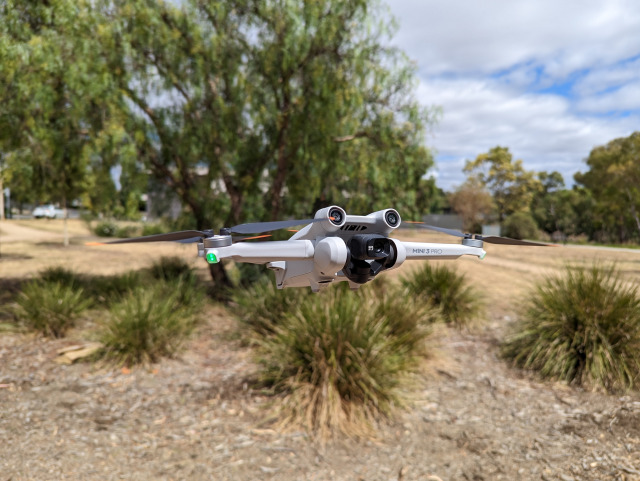 In flight
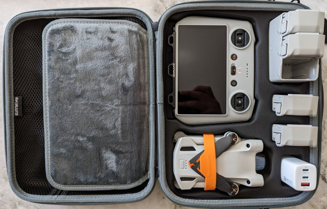
Of course I've accessorised too. A robust case, spare batteries, neck strap for the remote, etc..
Since then I've been busy building up my experience and working out how best to make use of my drone. This is where some of the rules and regulations become challenging. CASA has a comprehensive website that breaks down all the important rules, but the ones that often prove to be most challenging when living in and around a city are:
- You must keep your drone at least 30 metres away from other people
- You must keep your drone within visual line-of-sight.
- You must not fly over or above people or in a populous area.
My solution has been pretty simple:
- 90% of my flying has occurred over empty water where there's just no one.
- If I'm flying over land, I'm flying directly over myself, and picking times / spaces where I'm the only person around.
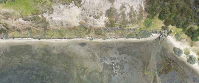 Water meets the land (Portarlington). This is actually a vertical panorama that has been rotated. Original below
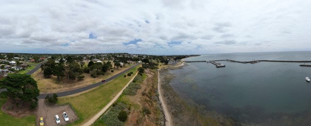 Portarlington, Panorama
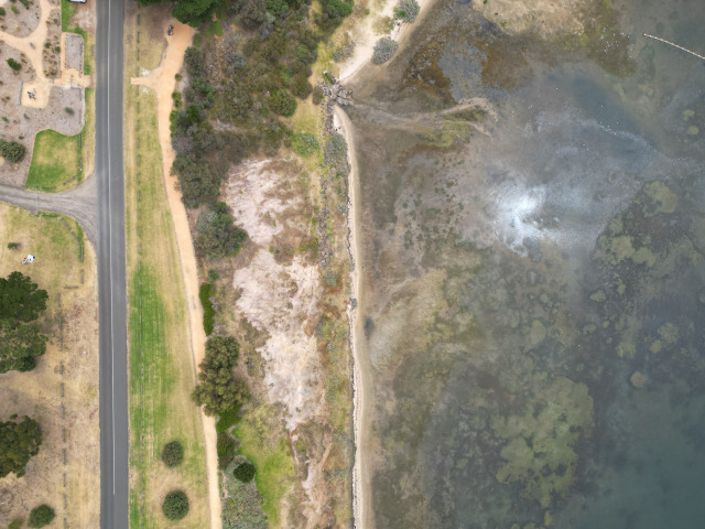 Portarlington without a stitched photo
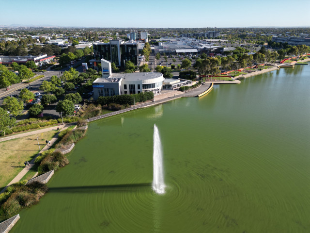
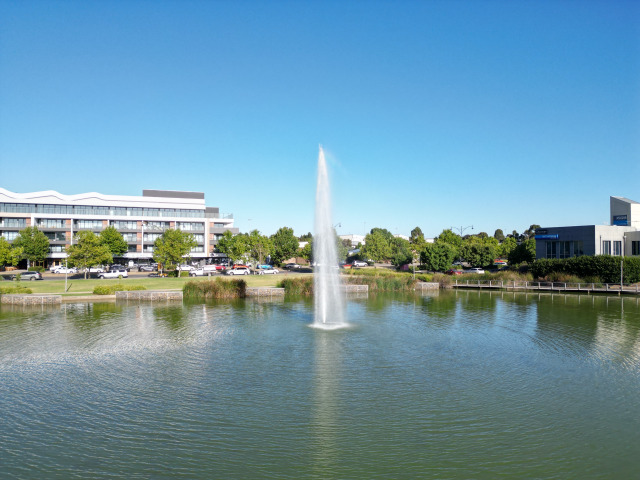 Caroline Springs water fountain
What's most disappointing (living in Victoria anyway) is that a seemingly obvious place to visit with low population density would be our various parks and reserves. Unfortunately this is strictly banned by ParksVic and heavy fines apply - unless you've paid them for a commercial permit. Of course, there's the potential loophole that ParksVic doesn't actually manage the air-space (that's CASA) but they DO have the right to restrict take-off or landing. Of course if you combine that with the line-of-sight restrictions, in theory you could fly into perhaps the corner/boundary of a park and out again provided you took off and landed from outside. What an impractical pain! To make things stranger, while this applies to State Parks, it says nothing for State Forests. These are managed by DEECA (DELWP prior to 1st Jan 2023). DEECA has no such restrictions on the private use of drones, leading to crazy situations like it being perfectly fine to fly in Wombat State Forest, but a big no-no to fly in Lerderderg State Park right across the road. I guess I'll gravitate towards State Forests from now on. Trailhiking.com.au has a good blog post that delves a little deeper on the above.
Making the ParksVic situation even more frustrating, they manage almost all of Victoria's coasts with Portarlington being one of the few exceptions. Severely limiting where you can reasonably fly. And don't get me started on the fact that after seemingly endless Google searching I still can't find a clear and concise map or list of the land that Parks manages. Unfortunately an overly heavy handed approach to dealing with potential nuisance flyers means Parks has severely restricted drone use in Victoria and they've done such a piss-poor job of making it clear that the only people who will realise they're restricted are those making an effort to fly responsibly in the first place.
All frustrations aside, I've had the drone for less than a month and so far it's proving to be a rewarding hobby. I'm already able to produce photos I'd never previously thought possible and I've only just scratched the surface.
P.S. I'm particularly fond of how vertical panorama shots turn out on the drone, so I've taken a few of those. As they tend to break the flow of an article I've included them all below rather than inline.
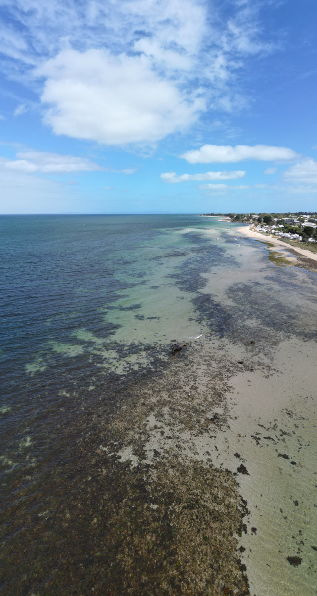 Portarlington coast
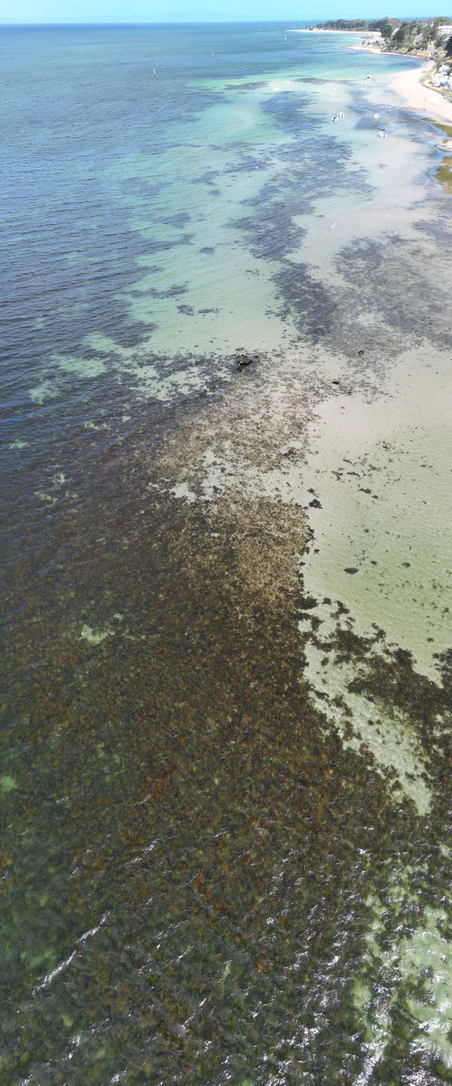 Portarlington shallows
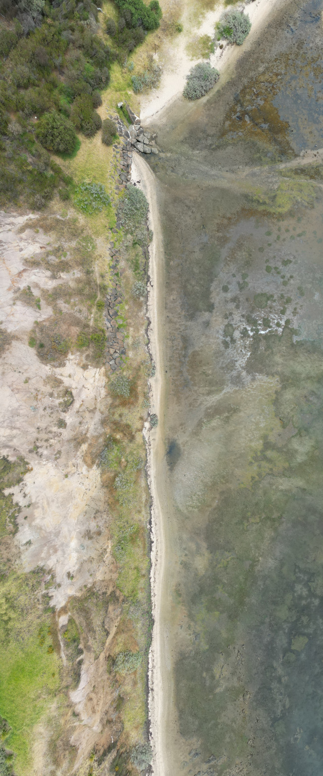 Water meets the land (Portarlington), unrotated
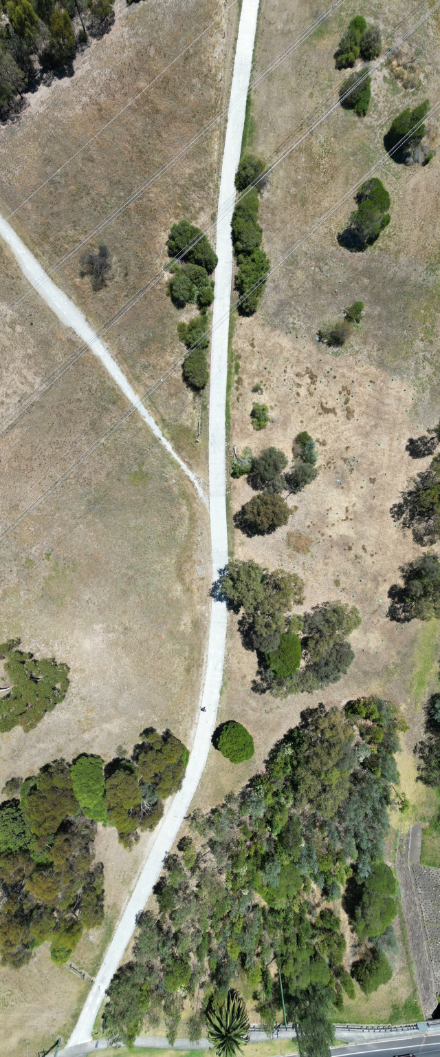 Taylors lakes reserve, above the power lines. (The person walking on the path is me!)
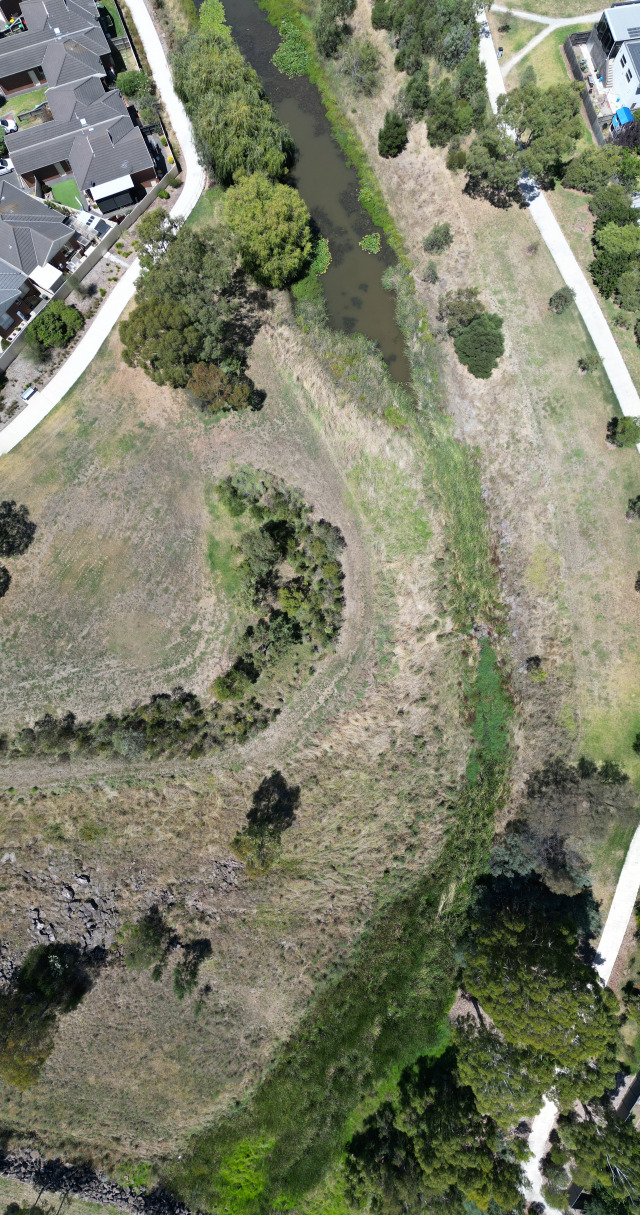 Taylors lakes reserve, retarding basin
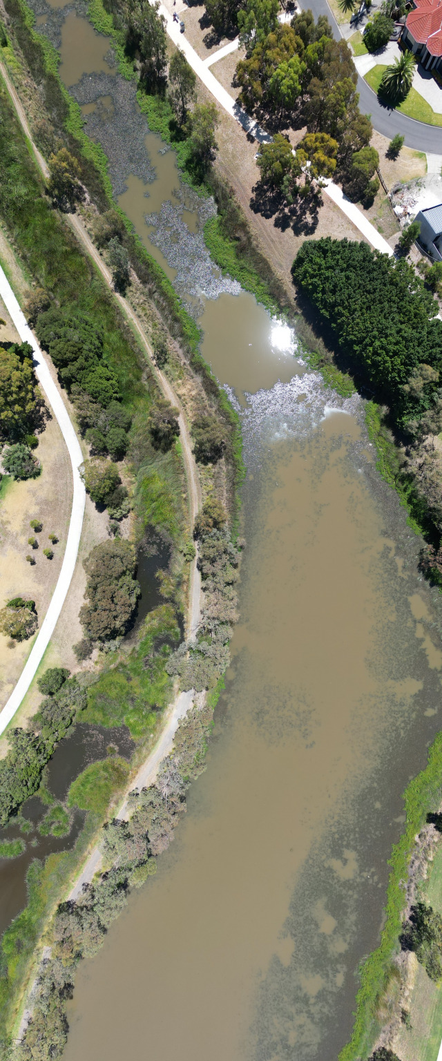 Taylors lakes reserve, retarding basin
If the last two are making you scratch your head. You can read more about the retarding basins here.